|
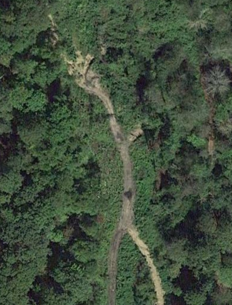
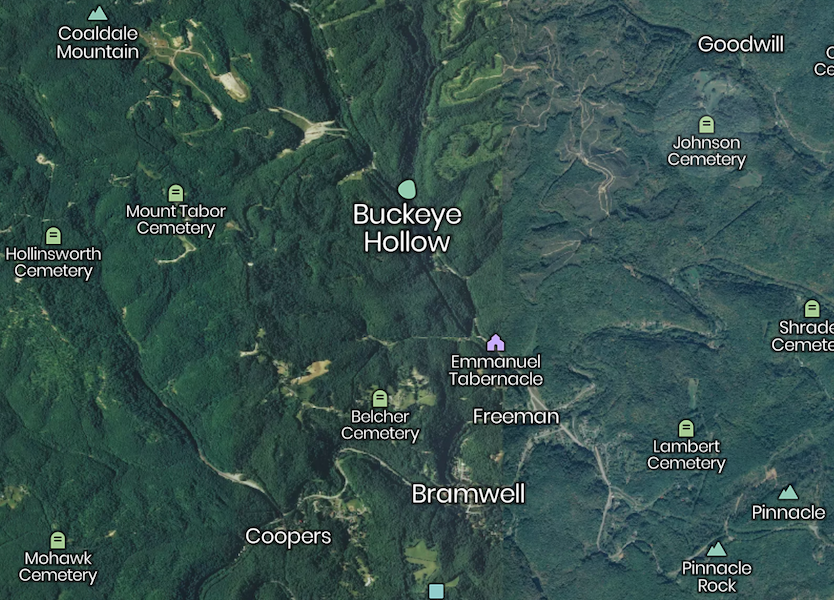
BUCKEYE HOLLOW, WV SATELITE MAP
(It is thought that the Buckeye Tipple & Houses may have been located in the large cleared area on this map.)
|
This is a present day satelite map of the Buckeye Hollow where the Buckeye Tipple, Mines and Houses were located.
|
1939 CONSTRUCTION OF RT. 52 THROUGH FREEMAN, WV COAL MINING MAP IN BRAMWELL AREA PIONEER MINERS AT COADALE MINES |
Note: This Index File is a quick reference for material related to the coal mining industry in the Historic Bramwell area. It is intended to be a quick reference for the "Site Index Files". It does not cover all site pages related to this subject. |
| NEWS | MASTER INDEX | BHS CLASS INDEX | PIONEERS |
![]()